Planning
The planning component of the Coregonine Restoration Framework is a key step to maximize the probability that the restoration action will be successful. In 2019, fishery managers endorsed a process by which planning teams formed for each of the following planning steps. By 2021, all four teams were active and included 53 individuals spanning 21 entities across Canada and the United States. The first task for each team was to develop methods for each of the four planning steps. Between 2022-2023, the methods were drafted, reviewed by scientists and managers from each lake, and ultimately approved for implementation. Below, a high-level overview of the methods for each planning step is provided.
Image Credit: photographer
Resolve Coregonine Taxonomy
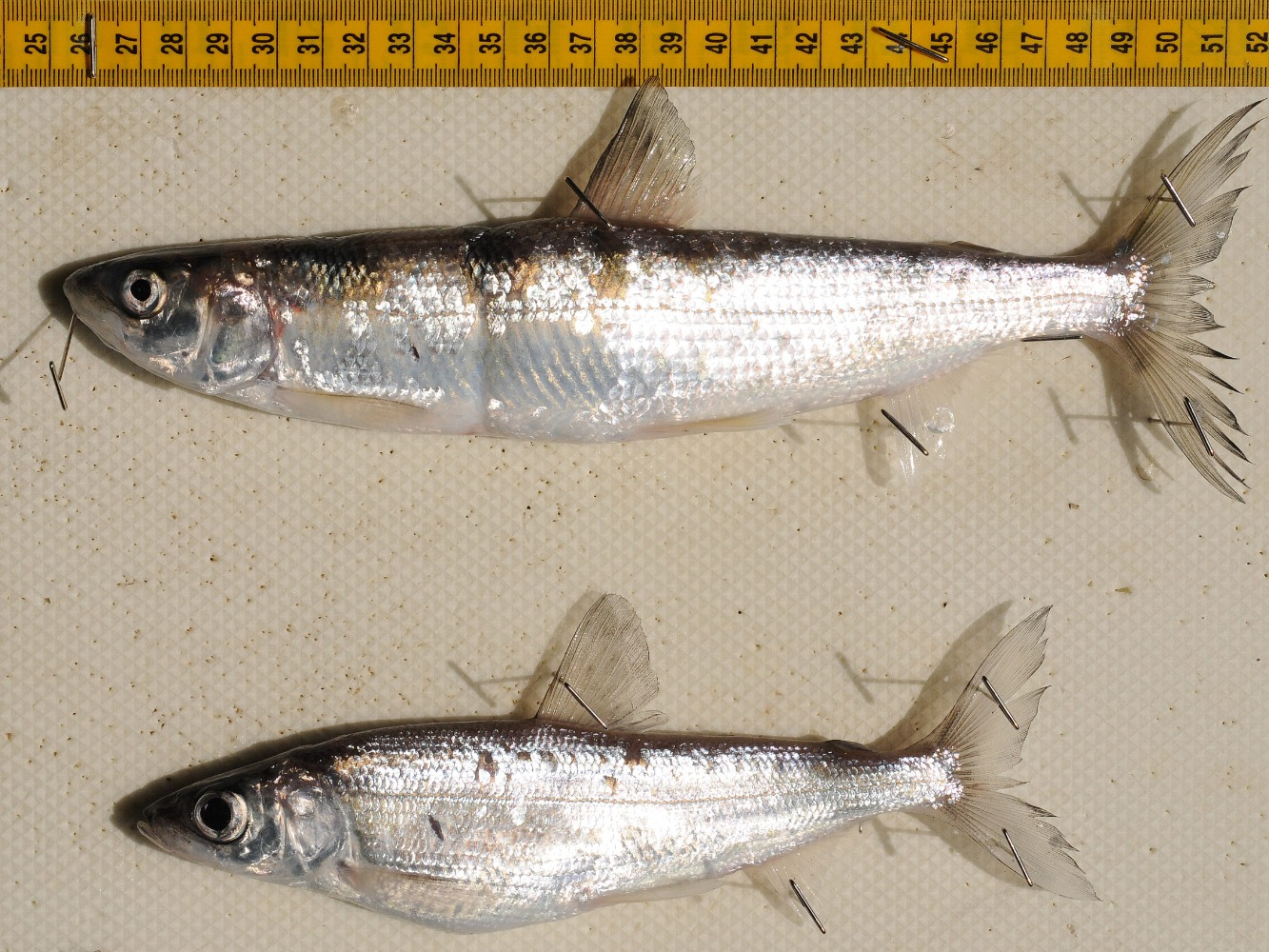
A shortjaw cisco (C. zenithicus, top) and a kiyi (C. kiyi, bottom) from the Thunder Bay region of Lake Superior. Credit: Andrew Muir.

Archival materials, including books, maps, manuscripts, and photographs, containing valuable historical occurrence data for Great Lakes coregonines. Credit: Cory Brant.
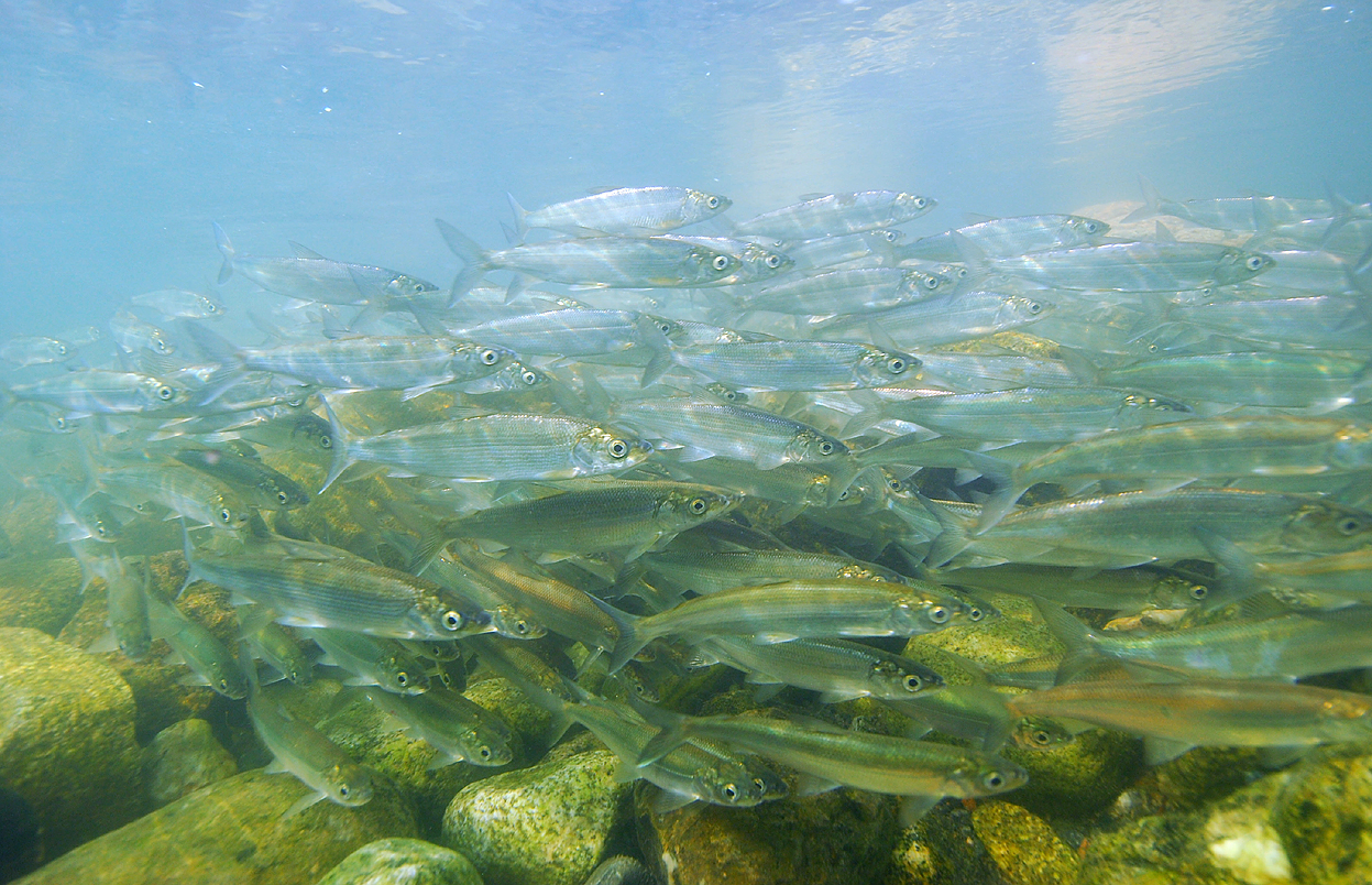
A spawning migration of ciscoes (C. artedi) in the Yellowknife River, Great Slave Lake, NT during October. Credit: Paul Vecsei.
Threats Assessment
Threats assessments identify human-driven factors that have caused, are causing, or may cause populations to decline, and they typically combine estimates of a given threat’s impact with its likelihood of occurrence to evaluate risk. The Coregonine Threats Assessment Science Team reviewed many approaches for conducting these assessments and came to consensus to recommend a modified version of the method used by Department of Fisheries and Oceans (Canada) for use within the Coregonine Restoration Framework. Threats assessments conducted using this approach will help to identify key threats and impediments to coregonine restoration, highlight management actions that can alleviate those threats, and provide valuable information for population viability analysis and spatial models.
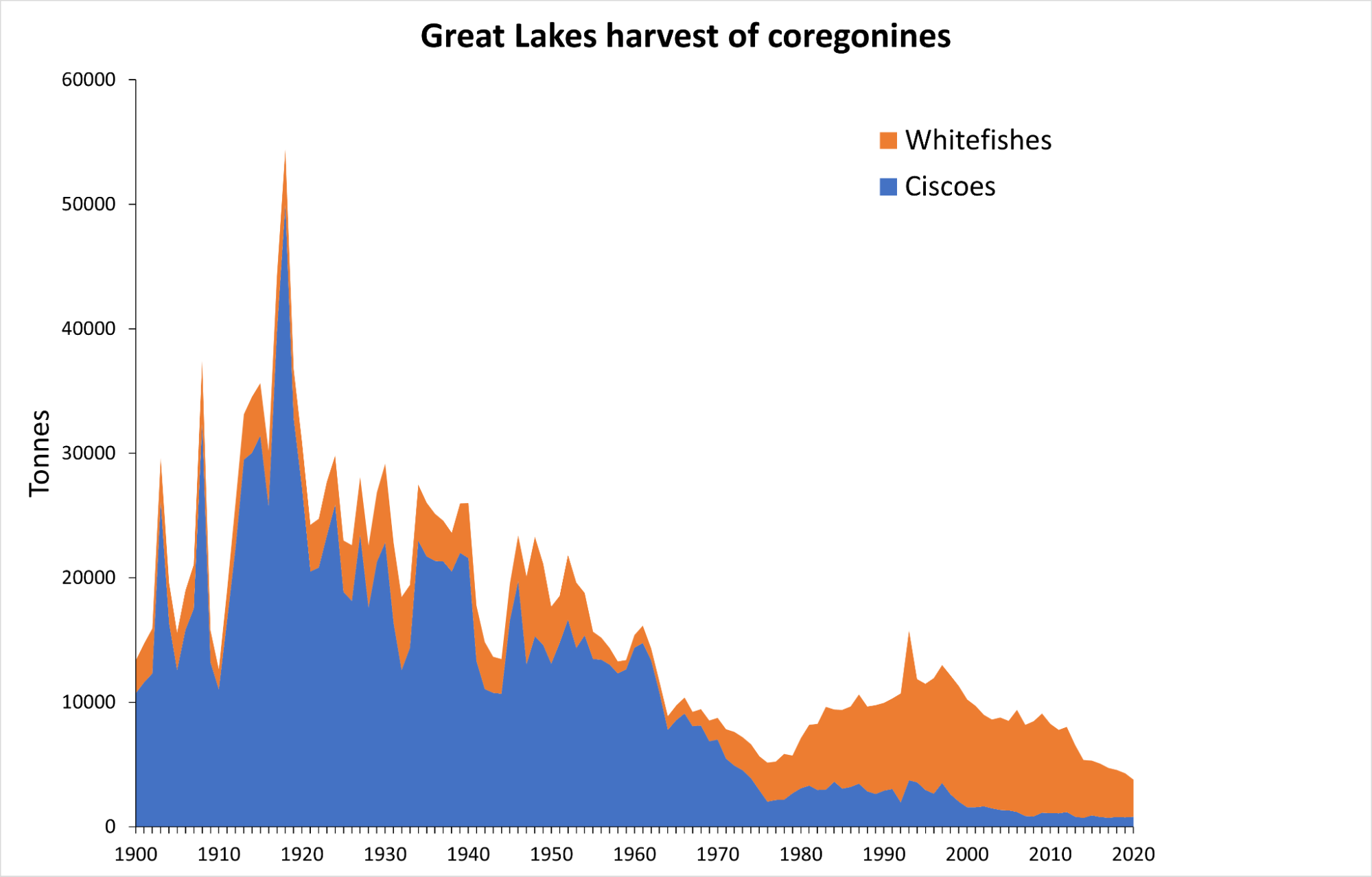
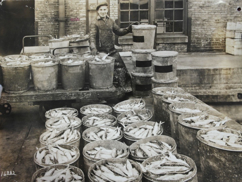
Buckets of Great Lakes ciscoes ready for freezing, c. 1920s. Credit: USGS Great Lakes Science Center.
Compile data to conduct population viability analysis
Population viability analysis (PVA) uses computer models to predict how a population of fish will change into the future. These models can be very simple and based on observed trends in abundance, or they can be very complex and incorporate all the various components of the fish’s life history (e.g., age, growth, survival, fecundity, etc.) as well as factors that affect each component of the fish’s life history.
This planning step of the Coregonine Restoration Framework gathered the necessary information for the development of PVA models and made recommendations for methods to use given the available information in a particular location for a particular species. Development of PVA models provides a means to evaluate the possible outcome of management actions before they are initiated, thus allowing fisheries managers to make informed decisions that will most likely lead to coregonine restoration.
